
February 17, 2025 – Chicago, Illinois –
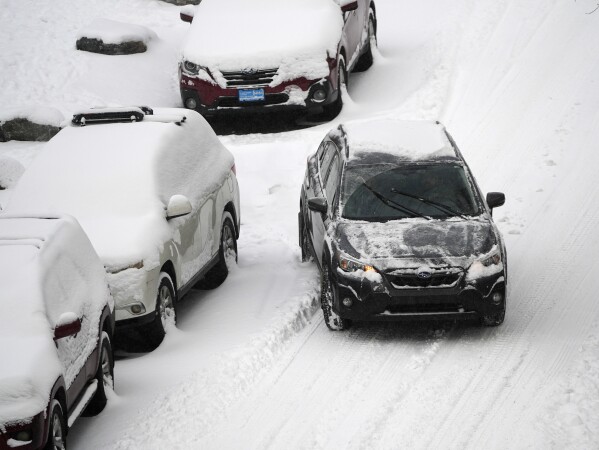
A powerful winter storm, intensified by a polar vortex, is sweeping across the United States. The National Weather Service (NWS) has issued multiple warnings for extreme cold and heavy snowfall. Residents are urged to take precautions as temperatures plummet and hazardous conditions develop.
Impact of the Snow Storms and Extreme Cold
Midwest: Illinois
Illinois is bracing for heavy snowfall, with a Winter Storm Watch issued for Madison and Calhoun counties. The NWS forecasts 5 to 10 inches of snow from Monday night through Tuesday night.
In Alton, light snow is expected between 10 a.m. and 2 p.m. on Monday, followed by heavier snowfall after midnight. Temperatures will range from a high of 21°F to a low of 8°F on Monday, dropping further into single digits on Tuesday.
Northeast: New York
New York is preparing for its largest snowstorm of the season. A powerful winter storm is set to bring substantial snowfall and freezing temperatures.
The storm is expected to move from the Central Plains to the Northeast, with snow beginning early Thursday morning. Exact snowfall amounts are still uncertain, but significant accumulation is likely.
In New York City, temperatures will stay in the mid-20s, while other areas in the Northern Plains could see wind chills as low as -50°F.
South: Texas
Texas is facing an arctic blast that will bring freezing temperatures and potential snowfall. The coldest days are expected from Tuesday to Thursday, with wind chills dropping below 0°F in some areas.
In Dallas-Fort Worth, temperatures will fall into the teens on Tuesday and Wednesday nights, with daytime highs near freezing. The Texas Panhandle will see lows close to 0°F and wind chills reaching -25°F. Light snow is also possible.
Why is This Happening?
The extreme cold and snowstorms are caused by a polar vortex—a large mass of cold air that typically stays near the poles. Occasionally, this vortex weakens and moves southward, bringing frigid temperatures and winter storms to the U.S.
Historical Context
The U.S. has seen similar events in the past. In January 2019, a severe polar vortex caused record-breaking cold across the Midwest.
The 2014 polar vortex also brought extreme cold, with Chicago experiencing temperatures colder than parts of Antarctica. Events like these highlight the importance of preparedness and early warnings
Also Read :.https://bitcoinnewspro.com/
Social Media Reactions
Social media is flooded with updates as the storm approaches. Hashtags like #PolarVortex2025 and #StayWarmUSA are trending.
People are sharing safety tips, posting photos of snow-covered streets, and checking on neighbors to ensure everyone stays safe.
Government Response and Safety Advisories
Authorities are taking preventive measures to minimize the storm’s impact:
- Shelters and Warming Centers have been opened for those without proper heating.
- Travel Advisories warn against unnecessary travel due to icy roads and reduced visibility.
- Public Announcements provide safety tips to prevent frostbite and hypothermia.
- Utility Preparations are in place to prevent power outages and respond quickly to disruptions.
 Weekly Price Prediction 2025: Trends, Analysis, and Future Outlook")
